While Ben and Mom hiked CT section 18, I headed up to explore the Gunnison National Forest area. From the drop off it was a two hour drive to Black Canyon of the Gunnison National Park (although a road closure on 50 added between 20 minutes and 2 hours depending on when you hit it). I had been planning on stopping at one of the National Forest campgrounds near the National Park but they were all closed so I was kind of freaking out as I approached the park; there was no cell service and it was already almost 5 so if I had to go back through the road closure to find a place to camp it would have been a real struggle in the darkness. Fortunately the walk in campsites at the National Park had a couple of spots left and I had the right amount of change for the little cash envelopes (I love that you can write credit info on some of them now). Unfortunately the spot I picked was the one where people had made a cut through path to the bathroom. Only one person apologized to me but it’s fine I’m not bitter. In their defense I had my car set up so there was no tent, they might have thought I wasn’t there.

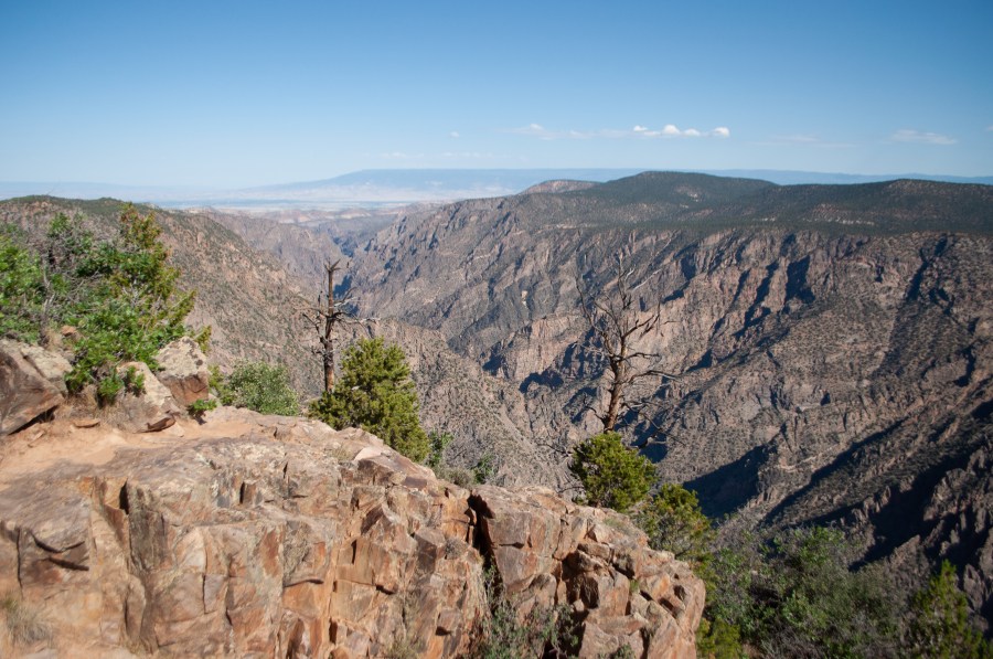
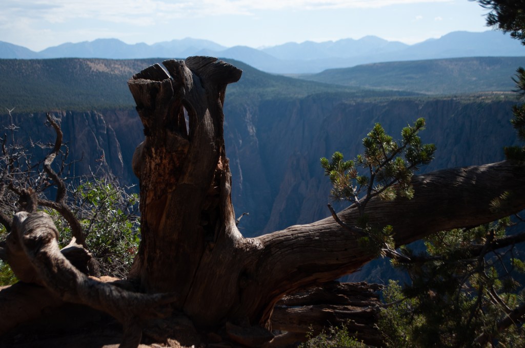
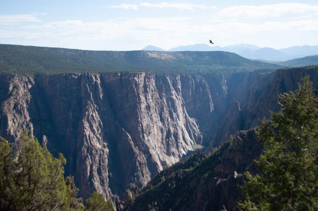
This was my first trip to Black Canyon of the Gunnison (and rounded out Colorado National Parks for me). In the morning I did the scenic drive and stopped at all of the little hikes and overlooks. I hadn’t gotten a permit for hiking into the canyon because frankly I did not do a good job planning ahead but the top of the canyon was still very cool.


The only problem with a single rim road in a park without many people is that you end up on the same stop schedule as everyone else and at my first stop I made small talk with a couple and then realized I was going to have to awkwardly chat with them at every viewpoint for the rest of the day so I skipped to the last stop and hike and then did the rest of the park backwards. As any reasonable person would do when faced with casual social interaction.
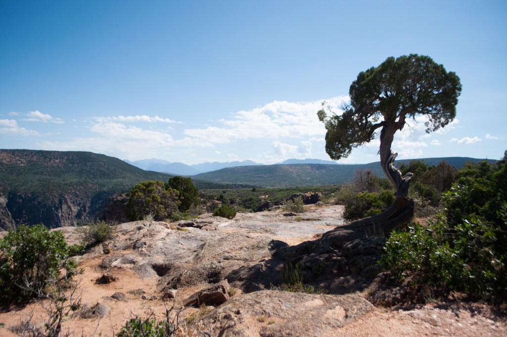
At the end of the rim road is Warner Point Trail, a 1.5 mile round trip hike/toodle to a view point with with sweet views along the way out to the southern plains and some sand dunes that were definitely not the Great Sand Dunes.


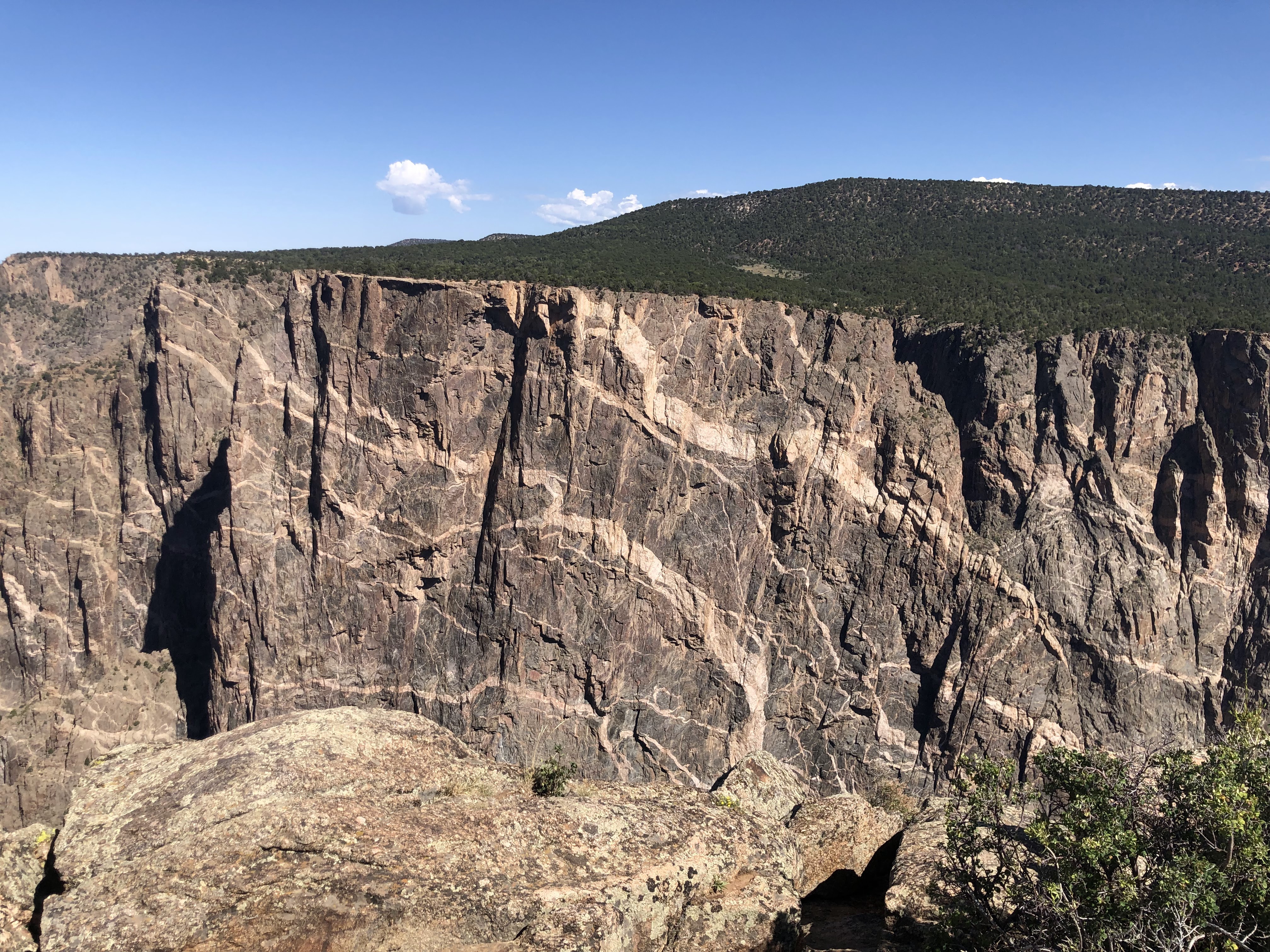
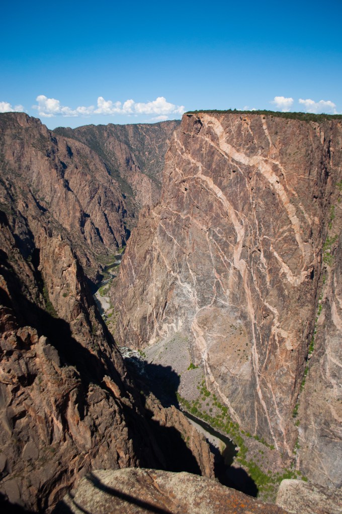
Dragon Point Overlook turned out to be very cool. I didn’t have high expectations but as I was heading out to the viewpoint a small child informed me that it was like real dragons so it was obviously going to be cool. I also was expecting a rock kind of shaped like a dragon, but it turned out to be the strata in the rock that looked like dragons taking off. According to the informational sign, the dark rock in gneiss, and the light rock that makes the dragon shapes is pegmatite, which is an intrusive rock that snuck in between the other rocks and created veining. And pegmatite is made up of Quartz, Orthoclase Feldspar and Biotite Mica. Science.
After my day on the canyon rim I was off to Curecanti National Recreation Area to test out my new inflatable kayak….
