Section 4: 223.5-Vt Rte 15/Valley of the Lamoille River to 272.7-Journey’s End/Northern Terminus
This fall has been brutal (not as brutal as the Long Trail) so I want to apologize for being so delinquent in my posting. Hurricane Harvey really did a number on the school year, combined with adding a class that I’ve never taught before and my roommates/landlords moving to Peru and taking the best dog in the world with them, it’s been a doozy. I will endeavor to post more regularly in the future, now that we have a couple of breaks coming up it should be manageable.
So here it is, the last section of the Vermont Trail. My double knee brace section.
Trail Day 17 (July 10): Vt Rte 15/Valley of the Lamoille River to Spruce Ledge Shelter (18 m)
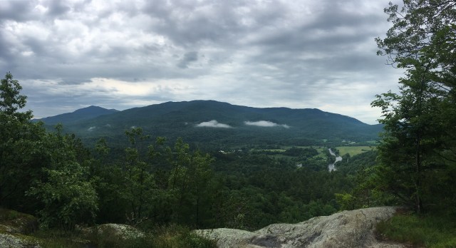
Looking out over the Lamoille River valley. The first ascent coming up from Route 15. Look at the cute little clouds in front of the mountain!Another unanticipated danger of the trail….sap lines across the trail! They were about 5.5 feet off the ground, so at 5’5 3/4″ I was safe but I was concerned about my 5’7″ mother coming through later and she did report them to be very frustrating.
This was just the most gorgeous day on the trail thus far.The tiniest red eft!
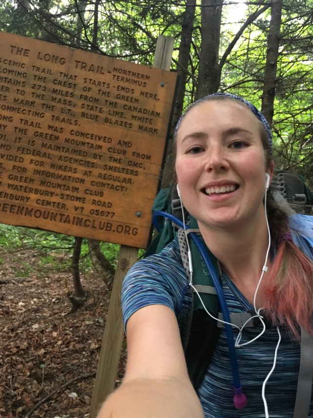
Trail Day 18 (July 11): Spruce Ledge Shelter to Hazen’s Notch Camp (14.1 m)
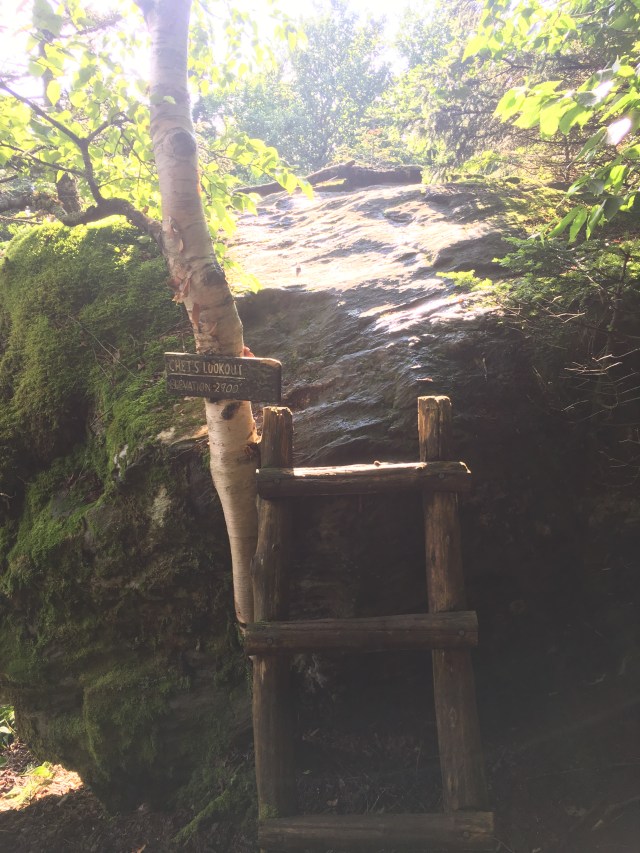
Another instance of the trail experimenting with the new identity of river.The same windmills that I could see on the drive home from Rt 15And the last shelter. What a crazy sign to finally see.
Trail Day 19 (July 12): Hazen’s Notch Camp to Journey’s End (17.1 m +1.3 out)
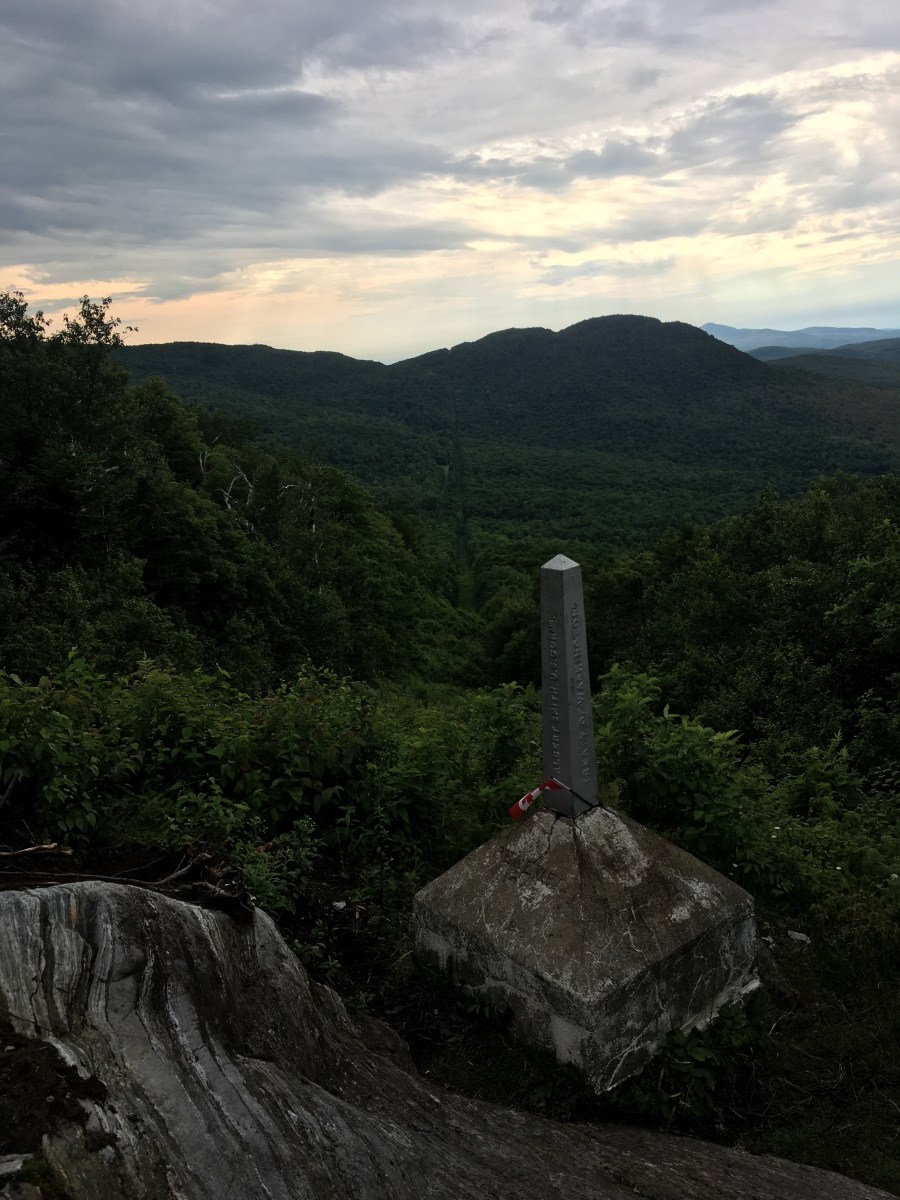
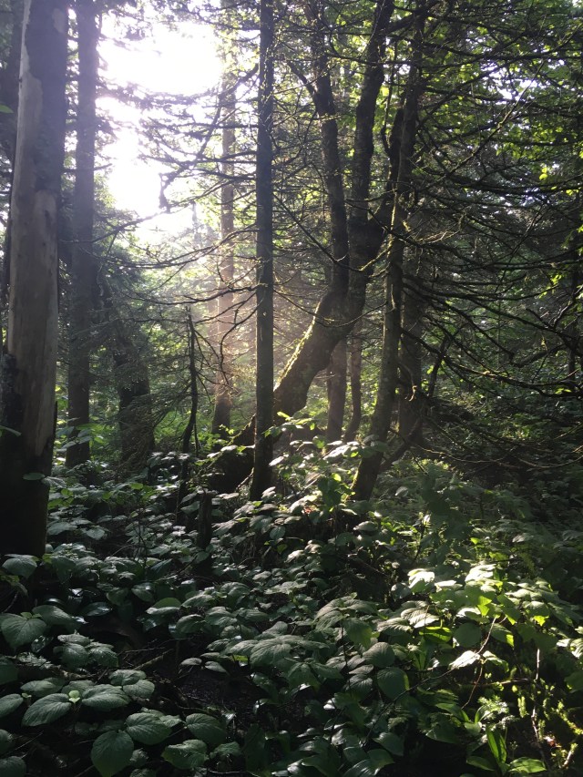
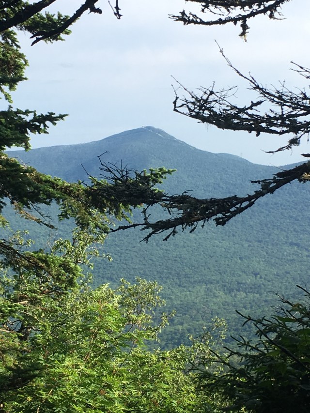
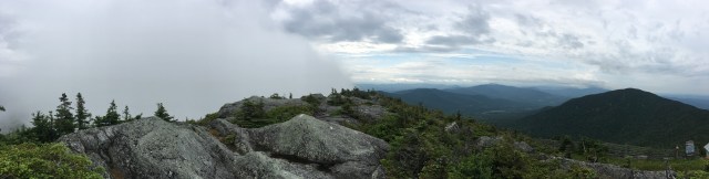
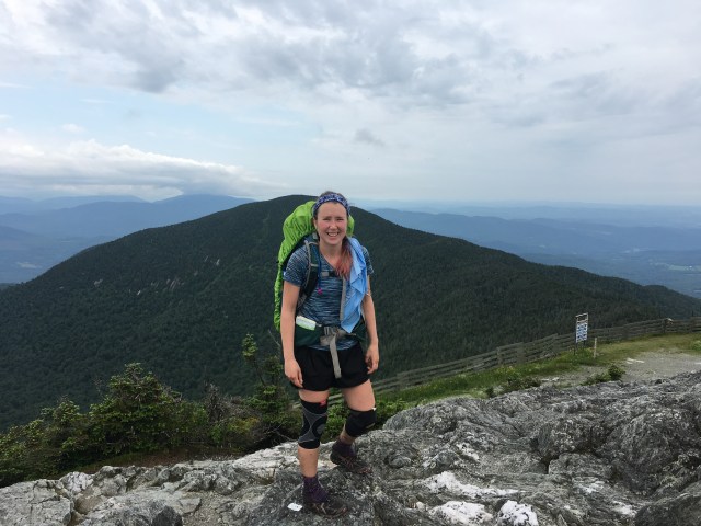
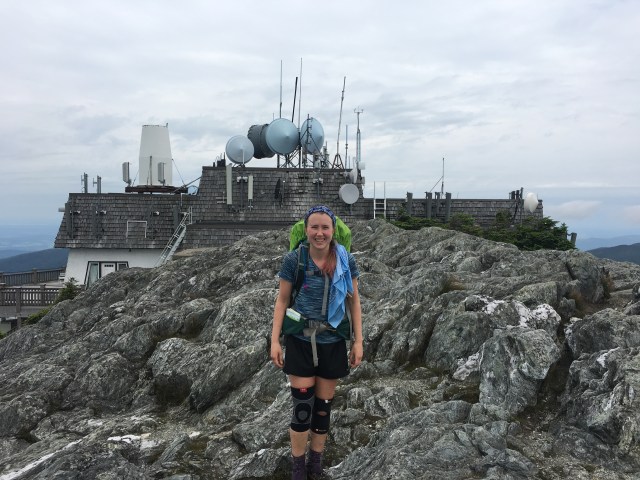
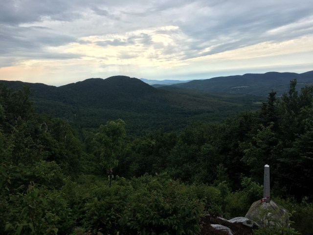
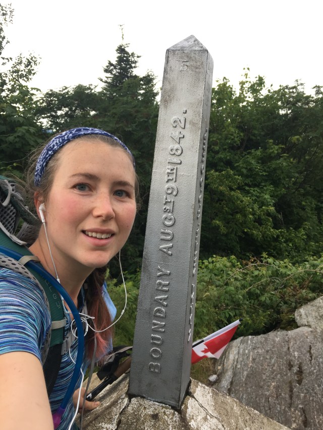
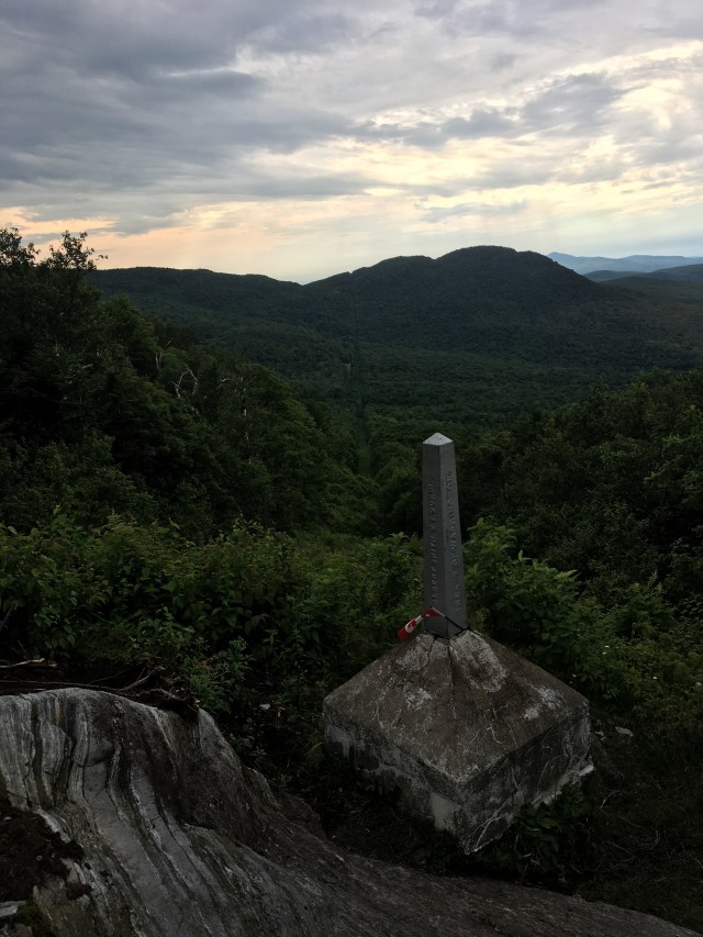
Got up real early for my last day and got to enjoy the very early morning light.This is just ridiculous. If you ever do this section and you’re going northbound just keep walking past this weird rock, there’s a better view of Jay Peak on the trail up ahead.See?Somebody got sick of naming things.Look at this crazy cloud! The weather was completely different on the two sides of Jay.Glamour shot with the double knee brace.And got the picture of the crazy building. The restaurant was not open.Nothing like hiking 260.2 miles to get to the top of a mountain and seeing people ride a gondola up.The most special chair.The most beautiful flowers, on the ski trail at Jay.3 miles from the end. This is the same road I would drive out on when I finished. At this moment I was excited. 10 minutes later I was nostalgic and sad, thinking about how much I was going to miss the trail. 30 minutes after that I was convinced that I was never going to finish and Canada was a lie and I was cussing out the roots and the rocks. It’s like when they say the last .2 miles of a marathon are the hardest. The last 1.5 miles of the Long Trail NEVER END.But they do end!It’s Canada! Much better view than I was expecting. I love the long clear cut at the border.
And I did it! And then it was just another 1.5 miles to the car. I drove straight home, almost a 3 hour drive, holding my kneecap in place the whole time. When I tried to get out of the car I fell over my legs had seized up so badly. So let this be a lesson, when you hike 18.5 miles and then sit in a car for 3 hours….stretch in between.